We measure the land,
with precision.
Complete cadastral, surveying and land-registration services. 13 years of hands-on experience — for property owners and developers alike.
Everything cadastral and topographic
Complete services for owners, developers and companies — under one roof.
How we work
Five simple steps, from first call to handover.
- 1
Contact & quote
Tell us what you need and get a clear quote within 24h.
- 2
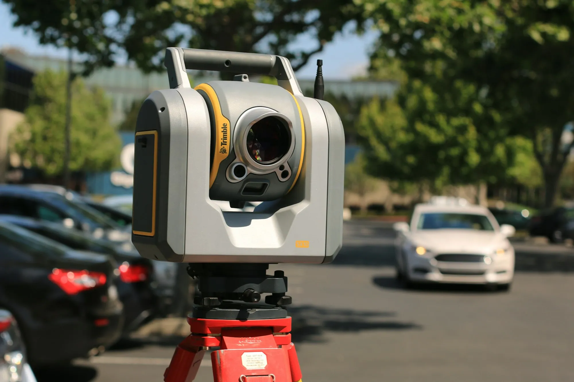
Field survey
We come on site with GNSS and a total station.
- 3
Documentation
We prepare the file to ANCPI standards.
- 4
Filing & registration
We file with OCPI and complete the registration.
- 5
Completion
Handover of approved documentation.
13 years of precision, on the ground.
Cadastral Cris SRL is an ANCPI-authorized firm in Brașov specializing in cadastral work, surveying and land registration. We serve both individuals and developers.
We use modern GNSS RTK equipment and total stations for high-precision measurements, delivered on time and fully compliant with current standards.
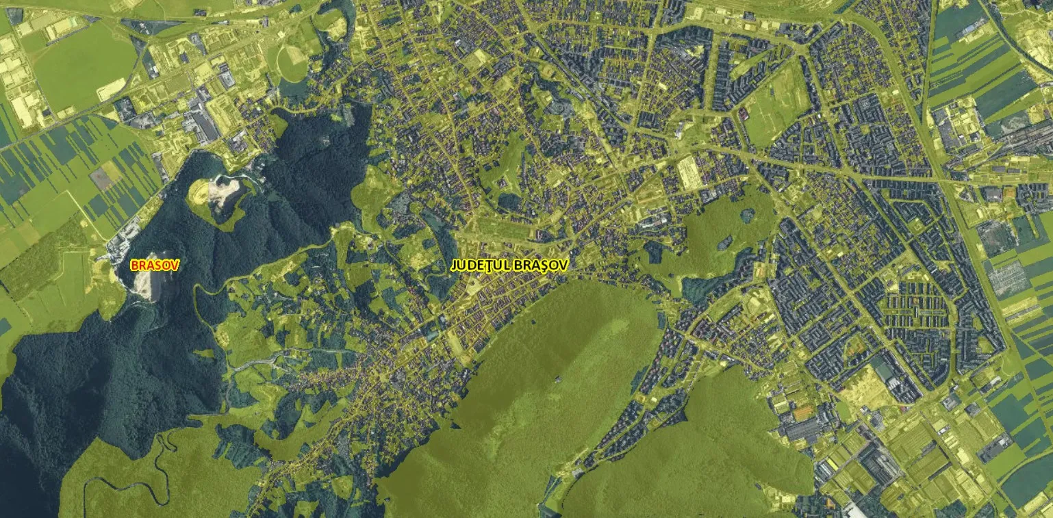
We cover Brașov and the surrounding area.
We travel across Brașov county for field measurements.
Answers to frequently asked questions
It depends on the property type and area. Send us the details and get a clear quote within 24h.
Usually a few weeks, depending on OCPI Brașov's workload. We give you an estimated timeline up front.
Typically your ID and proof of ownership. We guide you step by step.
Yes — both individual owners and developers/construction firms.
Let's talk about your project.
Fill in the form or call us directly. We reply fast.
- Call us+40 743 493 445
- Email ustopograf.brasov@gmail.com
- AddressStr. Olteț 32, Brașov
- HoursMon–Fri, 09:00–17:00